")
")

The Lempa River
The Lempa River is one of the most important rivers in Central America and the main river in El Salvador. It is approximately 422 kilometers long and flows through three countries:
Guatemala: Born in the department of Chiquimula, in the eastern region of the country.
Honduras: It briefly crosses the southern part of Honduran territory, in the department of Ocotepeque.
El Salvador: It runs through much of the country, crossing several departments before emptying into the Pacific Ocean in the southeast of El Salvador.
The river originates in Guatemala, in the Sierra Madre mountain range, then flows through southwestern Honduras, where it crosses the northwestern border of El Salvador, then flows southeast, where it empties into the Pacific Ocean.
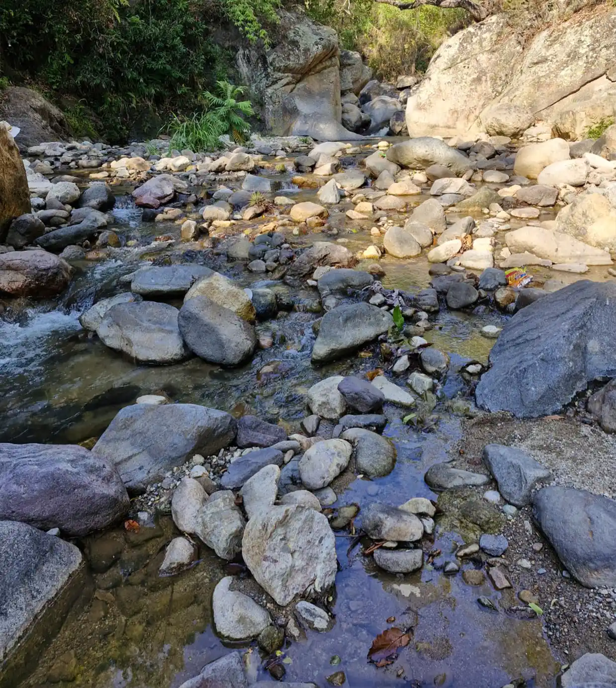
The Lempa River contains enormous ecological diversity, including cloud forests, coffee-rich agroforestry, productive agricultural valleys, and estuaries with wetlands, mangrove forests, and coastal fisheries. The watershed is of crucial importance to El Salvador from an economic, cultural, and ecological standpoint.
The importance of the Lempa River for the Tri-national Region
Area and extension of the Lempa River basin
The Lempa River basin covers an area of 17,926 km², of which 9,877 km² correspond to El Salvador (55.1%), 5,485 km² correspond to Honduras (30.6%), and 2,564 km² correspond to Guatemala (14.3%).
From its origin in the municipality of Olopa, Guatemala, to its mouth on the Pacific Ocean in El Salvador, the Lempa River is 422 km long, of which 30.4 km is in Guatemalan territory (7.2%), 31.4 km is in Honduran territory (7.4%), and 360.2 km is in Salvadoran territory (85.4%).
Current issues
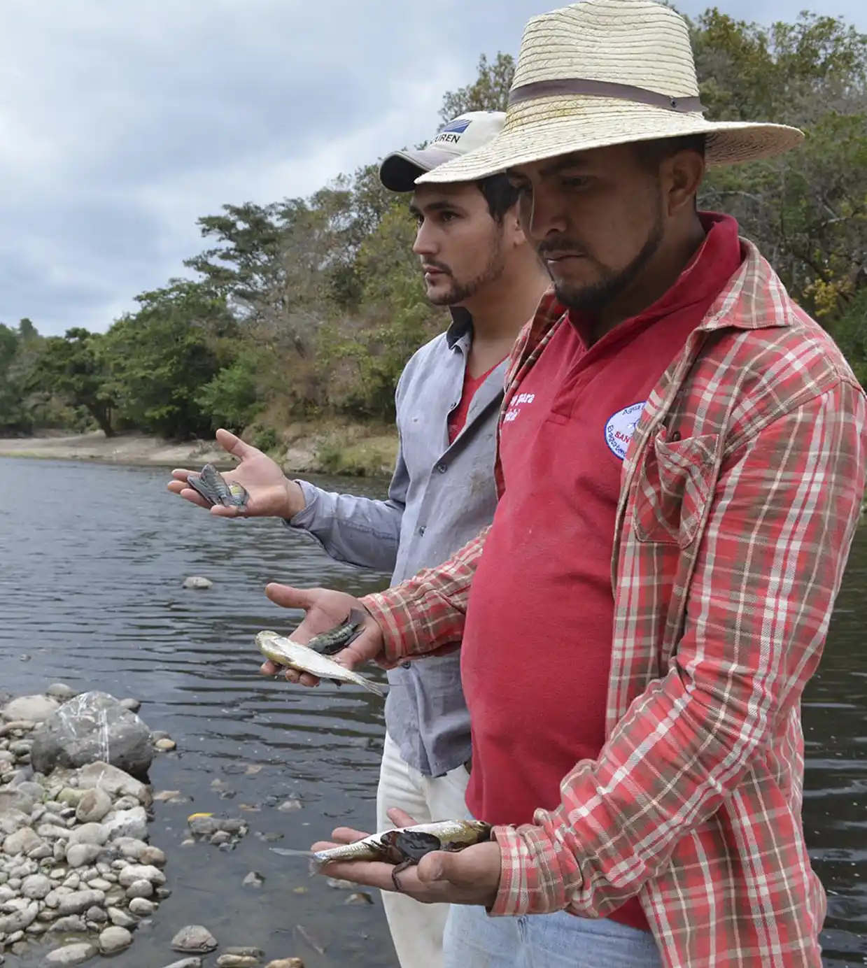
The Lempa River, vital to millions of people in Guatemala, Honduras, and El Salvador, faces multiple threats that jeopardize its ecological health, its capacity to supply water, and the lives of the communities that depend on it.
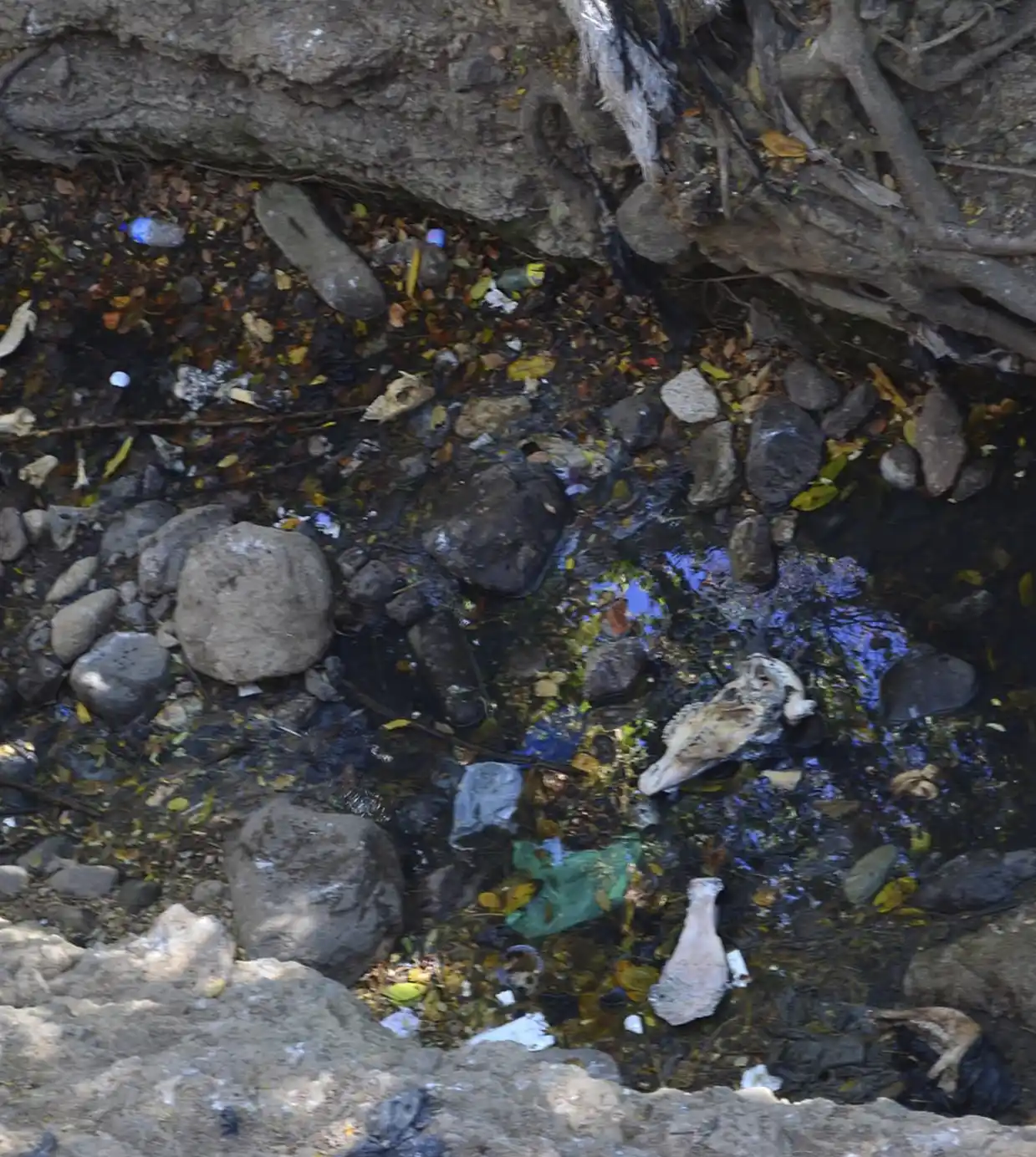
Contamination of water
Domestic and industrial wastewater is discharged untreated directly into the river.
Excessive use of fertilizers and pesticides in agriculture, which wash pollutants into the basin.
Solid waste and plastics dumped on its banks.
Climate variability and droughts
Climate change has intensified periods of drought and extreme rainfall, affecting water flow and quality.
Droughts reduce availability for human consumption, irrigation, and hydroelectric power generation.
Lack of tri-national coordination
As a resource shared by three countries, the absence of effective joint governance mechanisms limits comprehensive solutions.
There is no uniform regulation on environmental protection and sustainable use of its waters.
Deforestation and environmental degradation
The loss of forests in highland and riparian areas reduces water infiltration and increases soil erosion.
- This causes sedimentation in riverbeds and the loss of natural habitats.
Dam construction and energy use
Dams have affected the natural flow of the river and altered aquatic ecosystems.
Water management for electricity generation often does not prioritize environmental or community needs.